
Santa Clara ZIP Areas and Coverage
City Code section 17.35.040 recognizes 95050, 95051, and 95054 as Santa Clara’s three existing residential ZIP areas. The City of Santa Clara’s 2025 land study uses the same three-area description. Santa Clara University uses 95053 as an institutional ZIP. Postal material groups 95052, 95055, and 95056 with Santa Clara routing, but the research does not establish them as ordinary Santa Clara residential delivery areas.
| ZIP code | Areas covered | Post office or station | Notes |
|---|---|---|---|
| 95050 | Central and Old Quad, with west-central areas by map inference | Santa Clara Post Office, 1200 Franklin Mall, 408-296-0205 | Residential; 250 deliveries moved from San José 95117 in 2010 |
| 95051 | South and west Santa Clara by map inference | Mission Santa Clara, 1050 Kiely Boulevard | Residential; verify each address with USPS |
| 95054 | Northside, Rivermark, north of US-101, and office or industrial areas | Dedicated station not identified | Residential and industrial mix |
| 95053 | Santa Clara University | Institutional mail, 500 El Camino Real | Unique or institutional, not a neighborhood roll |
| 95052, 95055, 95056 | Legacy, PO-box, or routing group | USPS grouped 95050-56 Santa Clara | Ordinary residential delivery not established |
The areas marked by map inference should not be treated as official ZIP polygons. USPS assigns Santa Clara delivery, while a city or county tool answers jurisdiction. A Santa Clara ZIP code directory must show that difference rather than flatten it.
95050 and Central Santa Clara
ZIP 95050 covers central and Old Quad areas in the Santa Clara research map inference, along with west-central sections. The Santa Clara Post Office is listed at 1200 Franklin Mall, with 95050-9998 and telephone 408-296-0205. The ZIP is a residential area in Santa Clara’s three-area framework.
USPS Postal Bulletin 22279 records a useful Santa Clara quirk. Effective July 1, 2010, 250 deliveries moved from San José 95117 to Santa Clara 95050. That was a postal realignment, not an annexation. A historical Santa Clara directory or parcel record should therefore be checked against the address date, not only its present ZIP.
Use the USPS ZIP Code Lookup for the exact street address before treating 95050 as a search filter.
95051 and South Santa Clara
ZIP 95051 is the south and west residential area by the available Santa Clara map inference. Mission Santa Clara is listed at 1050 Kiely Boulevard with the 95051-9998 postal form. The table’s broad geography helps orient a Santa Clara search, but it is not a substitute for a USPS address result.
For a Santa Clara resident question, a ZIP narrows the Santa Clara address set. It does not expose a ZIP-wide name list. County parcel data carries ZIP with the situs components, the Assessor searches one address or APN at a time, and a voter file can be filtered by approved applicants and purposes only.
95054 and Northside Santa Clara
ZIP 95054 reaches Northside and Rivermark, land north of US-101, and office or industrial areas in the Santa Clara map inference. The research did not identify a dedicated USPS station for this ZIP. That gap is a reason to verify the complete Santa Clara address, not a reason to invent a post-office assignment.
The mixed residential and industrial character affects older Santa Clara records. A parcel may first appear in a later subdivision permit, GIS layer, or directory coverage line than an Old Quad address. Use the APN and legal description when a ZIP-only search produces an ambiguous result.
95053 and Santa Clara University
ZIP 95053 is associated with Santa Clara University at 500 El Camino Real. It is unique or institutional mail, not a Santa Clara neighborhood roll. A name connected with 95053 may belong to a university record, class, yearbook, office, or campus address. The ZIP alone does not state a Santa Clara home address.
SCU Archives and Special Collections holds student newspapers, yearbooks, course catalogs, university records, family papers, and Mission manuscripts. Those Santa Clara sources can add historical context to a name while keeping the campus role separate from a private household.
Legacy Santa Clara ZIP Codes
Official material groups 95052, 95055, and 95056 with Santa Clara postal or PO-box distribution. The available research does not establish current ordinary residential delivery, dedicated stations, or a Santa Clara neighborhood map for those codes. Treat them as legacy or routing clues until USPS confirms a full address.
- Residential ZIP
- A delivery area used for ordinary addresses, which may still contain nonresidential parcels.
- Institutional ZIP
- A ZIP assigned to a major institution rather than a neighborhood household area.
- PO-box ZIP
- A postal code used for post-office boxes or routing, not necessarily a physical parcel.
- Legacy code
- An older or grouped postal reference that needs current address verification.
A Santa Clara ZIP code directory should label uncertainty plainly. The USPS lookup and AIS Viewer are the final checks for Santa Clara delivery questions.
Finding Santa Clara Residents by ZIP
A Santa Clara ZIP-keyed search works as a narrowing workflow. First verify that the address carries the ZIP. Next use the parcel dataset to filter or inspect situs fields. Then choose the record that matches the actual question. There is no lawful public ZIP-wide Santa Clara residents list supplied by the local portals.
- Enter the full address in USPS ZIP Code Lookup and retain the returned city and ZIP.
- Check MapSantaClara or County GIS for the parcel, APN, and municipal jurisdiction.
- Use the Assessor address or APN route for assessment facts, not a guessed name.
- Use a court, vital, business, or directory source only when the person question fits it.
- For voter data, use My Voter Status for the voter’s own record or follow the approved state-file process.
Once a Santa Clara ZIP narrows to a street, the address chain belongs in the Santa Clara street directory workflow. Keep the ZIP as one field rather than making it stand in for the Santa Clara city or household.
ZIP-Capable Santa Clara Search Fields
Santa Clara’s public portals carry ZIP information in different ways. USPS returns a ZIP from a full address or a city and state query. Santa Clara County parcel data exposes ZIP beside the situs components. The Assessor uses an address or APN query, so it does not provide a free ZIP-wide owner search. The following field map keeps those functions distinct.
| USPS address lookup | Full street address to verify the delivery ZIP. |
|---|---|
| USPS city and state | City-to-ZIP lookup for possible codes, followed by exact address checking. |
| County parcel ZIP | ZIP stored with house number, direction, street, type, unit, city, and APN. |
| Assessor simple address | Physical property address; ZIP may be part of the address form. |
| Assessor APN mode | Eight-digit APN with or without dashes, then the parcel record. |
| AIS Viewer | Postal address-quality reference for delivery data, not a resident index. |
The USPS AIS Viewer and Santa Clara ZIP lookup are the right pair for postal verification.
The captured USPS ZIP Code Lookup route is shown here.
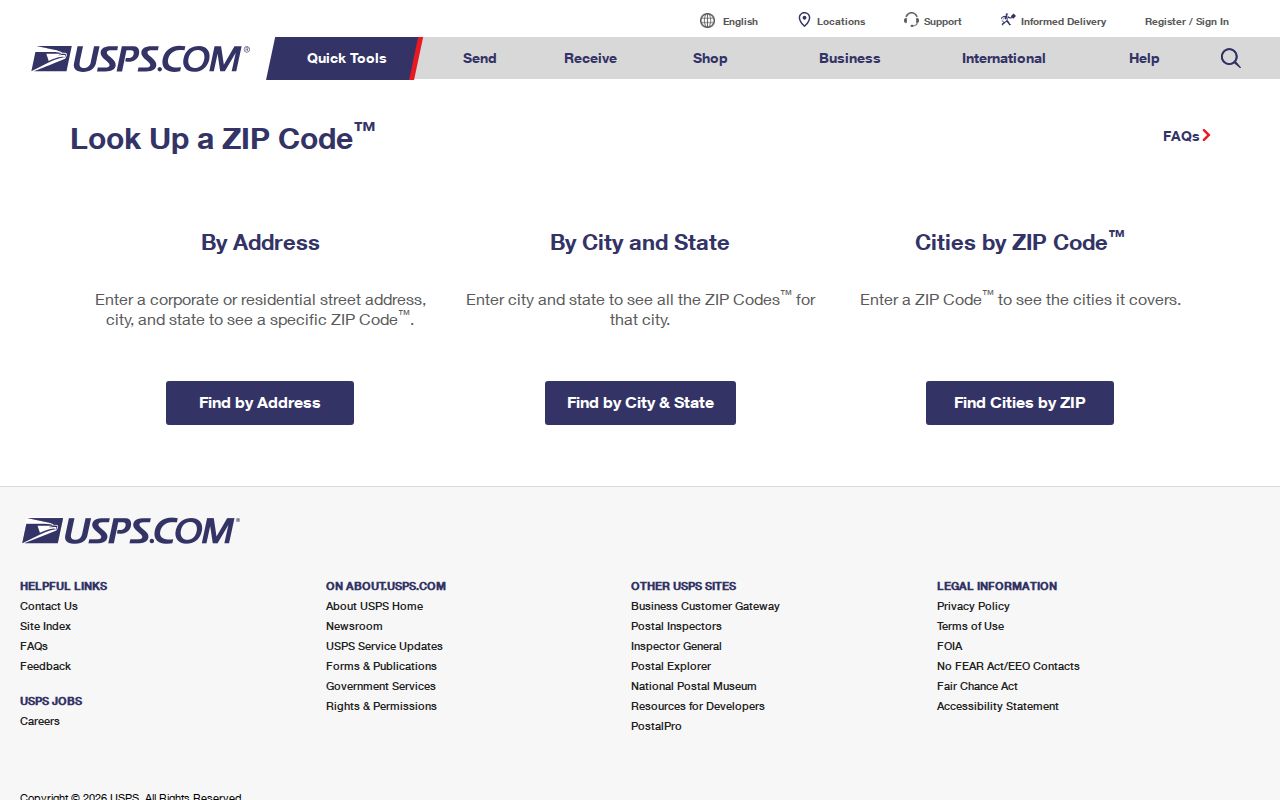
Use the exact returned ZIP before filtering a Santa Clara parcel dataset or comparing an older directory entry.
Santa Clara's 2010 ZIP Realignment
The 250-delivery transfer from San José 95117 to Santa Clara 95050 took effect July 1, 2010. It is a useful historical marker for Santa Clara address work. A directory entry, permit, or letter may carry an older ZIP even when the parcel stayed in the same place.
Postal realignment and Santa Clara municipal jurisdiction answer different questions. Compare the USPS result with MapSantaClara, the County jurisdiction finder, and the legal parcel record. If the dates conflict, preserve both values and identify which record produced each one.
Verify ZIP and Jurisdiction Together
MapSantaClara searches a Santa Clara property by street address or APN and can return zoning, General Plan, and property-related information. Planning lists 408-615-2450 and planning@santaclaraca.gov for the municipal route. The County jurisdiction finder is a separate check. Together they answer where a parcel sits, while USPS answers how it is delivered.
The County jurisdiction finder captured for the ZIP research connects address geography to the local boundary question.
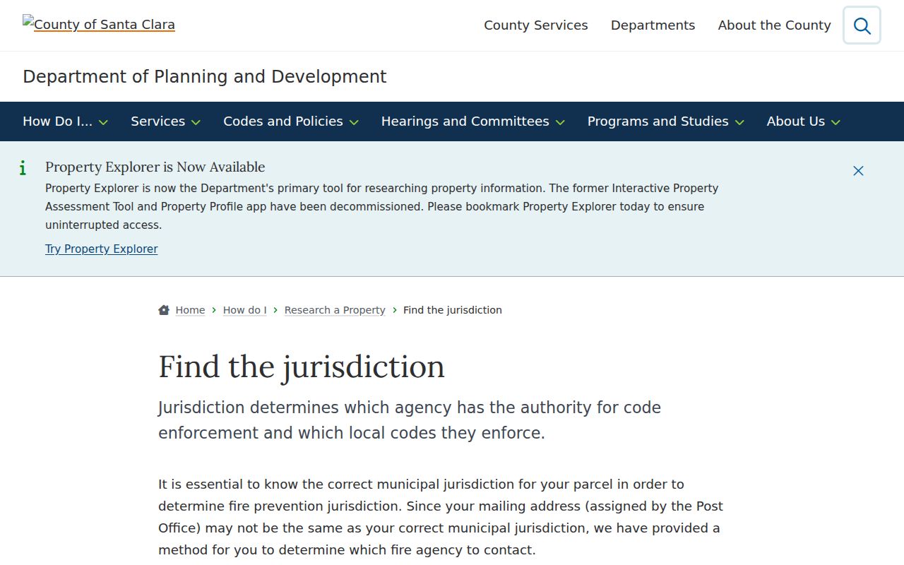
A postal city can differ from a Santa Clara city boundary. Never use the ZIP alone to assign a parcel to Santa Clara municipal records.
Santa Clara ZIP Code Definitions
Santa Clara postal terms can look alike while pointing to different levels of geography. These definitions keep a ZIP code directory from making a delivery detail sound like a property or Santa Clara resident fact.
- ZIP versus ZIP+4
- The five-digit ZIP identifies a broad delivery area; the added four digits narrow a delivery segment or route.
- PO-box ZIP
- A code used for boxes at a postal facility, which may not identify a physical residence.
- Unique ZIP
- A code assigned to one institution or major mail recipient, such as the university code.
- Carrier route
- An operational delivery path within a ZIP, not a municipal boundary or resident list.
- Situs address
- The physical parcel location used for land and jurisdiction research.
Boundary check. A Santa Clara ZIP can describe delivery without proving Santa Clara city jurisdiction. Verify the address through USPS and the parcel through GIS before relying on the result.
The captured AIS reference view reinforces why postal quality tools are separate from a resident lookup.
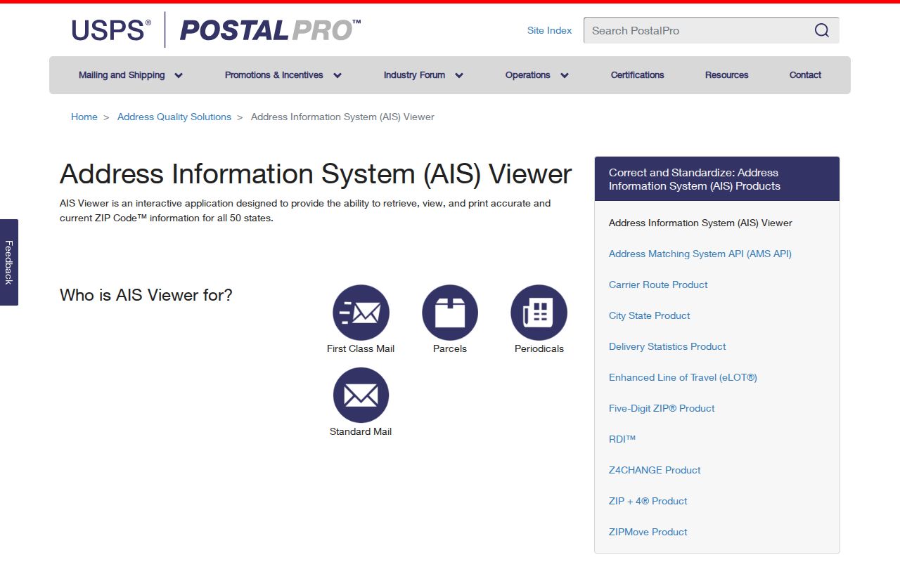
When the Santa Clara ZIP question is settled, hand the full address to the appropriate county, city, or historical source.
ZIP Code and Santa Clara City Limits
Santa Clara ZIP boundaries follow delivery routes, not incorporation lines. The postal city, the situs city, the county jurisdiction, and the legal parcel can all appear as separate values. A Santa Clara ZIP may be used for a delivery point near a boundary, while a city parcel may carry a different postal city. The local evidence should show which field came from which custodian.
For Santa Clara family history, preserve the ZIP printed in a historical source even if it differs from today’s value. For current property research, use the current USPS lookup, County GIS, MapSantaClara, and the Assessor address record. For an actual person, use the ZIP only as a clue and verify the record role elsewhere.
No official city ZIP polygon map with neighborhood labels was located in the research, and current delivery counts or classifications for 95052, 95055, and 95056 were not established. This Santa Clara ZIP code directory keeps postal and municipal fields apart. Preserve the source date and ask whether an older value is delivery, mailing, situs, or legacy routing.