
Sources for Previous Santa Clara Residents
A Santa Clara house-history search needs an era map before it needs a name. The Santa Clara previous residents trail uses deeds and official records to identify title parties from 1850 forward. Santa Clara directory and reverse-directory volumes identify occupants at publication dates. Census schedules fill selected decades. Permits date work at a Santa Clara address. Map books and Sanborn maps show the parcel or structure. Obituaries, cemetery indexes, and probate can close a family trail.
| Source | Years covered | Where held | What it shows |
|---|---|---|---|
| Recorded deeds and official records | 1850-present | County Clerk-Recorder | Title parties, dates, legal description |
| Digital Reel | 1850-1980 | Recorder counter | Older grantor and grantee instruments |
| Public workstation | 1981-present | Recorder counter | Modern index and images |
| City and criss-cross directories | 1870-1979; reverse issues vary | California Room and History San José | Names, addresses, household clues |
| County map books | About 1850-1957 | County open data and Archives | Subdivisions, surveys, cemeteries |
| Permits and reports | At least 2023-present, older cutoff unknown | Santa Clara Permit Center | Project chronology and record roles |
| Census and newspapers | 1850-1950 census; Mercury 1869-2011 | NARA, libraries, Heritage Pavilion | Households, deaths, moves, context |
Santa Clara coverage is not the same as continuous access. Missing issues, address changes, and city-boundary shifts can produce a gap that needs a map or legal parcel bridge.
Start With Today's Santa Clara APN
The Santa Clara County Assessor and GIS layers turn a current Santa Clara address into a stable research key. Search the Assessor by simple address, advanced address, or APN. Santa Clara County parcel data supplies the APN, geometry, situs components, ZIP, tax-rate area, and address count. MapSantaClara can return a property report and planning layers.
The APN is more durable than a street label. For Santa Clara previous residents, that bridge matters because planning history records changes such as San Francisco Street to French, French to Grant, and Spanish to Sherman. An inventory at 1072 Alviso notes a former Santa Clara address of 3100 The Alameda. Copy the current and former form before looking for a previous resident.
Today’s parcel is the first anchor. It does not decide who lived there.
Walk the Santa Clara Deed Chain Offline
Santa Clara County removed its Official Record Index from the internet on November 5, 2018. Santa Clara deed research now uses the Clerk-Recorder counter at 110 West Tasman Drive, First Floor, in San José. Records from 1850 to 1980 are on Digital Reel, and 1981 to present is on public workstations. Search by APN, document number, date, class, grantor, grantee, or combined party.
Use the title-changing instrument linked to the current Santa Clara APN. Read the grantee, grantor, date, document class, and legal description. Then search the seller as an earlier grantee. A grantor transfers an interest. A grantee receives it. A Santa Clara previous residents search therefore has an ownership trail, not a complete previous-residents list.
- Find the latest Santa Clara instrument number from the Assessor or recorder workstation.
- Read the Santa Clara deed image and write down the grantor, grantee, date, and legal description.
- Search the Santa Clara grantor as an earlier grantee and repeat the link.
- Order a copy by instrument number or book and page when the image matters.
- Pair each title date with a directory or census snapshot for occupancy evidence.
Santa Clara copies cost $4 for the first page, $2 for each additional page, and $2 for certification. Mail and phone orders can take up to seven business days plus delivery, and copies are mailed.
Santa Clara Map Books Through Time
Santa Clara County Archives map books contain roughly 5,900 recorded maps from about 1850 through 1957 across 108 volumes. The Santa Clara collection includes subdivision, survey, and cemetery maps. A map can connect an old lot, block, or cemetery reference to today’s parcel even when the street number changed.
The County Map Books dataset is a free starting point for the map layer. It does not replace a recorded instrument or legal survey. Read the map with the APN, plat, and legal description whenever possible.
The captured County Map Books route shows why Santa Clara’s previous residents trail needs more than a name index.
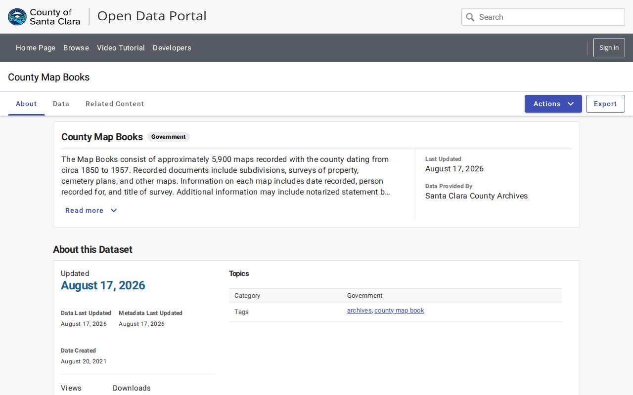
Santa Clara map evidence can show when a Santa Clara subdivision or cemetery relationship existed. It does not by itself name the household.
Past Santa Clara Households in Print
Santa Clara previous residents are often found in the occupancy layer rather than the title layer. San José Public Library holds Santa Clara city directories from 1870 through 1979 in print and 1870 through 1960 on microfilm. Santa Clara criss-cross issues are verified for 1915 to 1919 and 1922 to 1937. History San José holds later telephone and reverse volumes, family files, title abstracts, and block books.
Read the Santa Clara name-first entry, then reverse the search when a criss-cross section exists. Record every Santa Clara street spelling, house number, spouse or co-resident note, and printed occupation. The volume’s key explains its own abbreviations. A missing entry can mean a move, death, missing issue, boundary change, or spelling variation.
The complete historical shelf is described in the Santa Clara city directory collection. Those books help follow one Santa Clara address backward.
Pair Santa Clara Directories With Census Years
Santa Clara directories may be annual, but they are not a census. To place Santa Clara previous residents in time, compare the federal schedules public through 1950 with the household snapshot at a census date. A directory may have been compiled months earlier. Compare names, ages, birthplace, household members, occupation, and tenure without assuming that the two dates match exactly.
- Choose a Santa Clara directory year near the census year and copy the address verbatim.
- Check the matching census enumeration area and compare the household members.
- Note whether the directory marks ownership, boarding, or another relationship.
- Search the next Santa Clara directory year for a move, spouse change, or new co-resident.
- Use an obituary, cemetery entry, or probate file when a person disappears.
This pairing is especially useful for older Santa Clara households because the 1890 federal population schedules were destroyed in a 1921 fire. Santa Clara directories and Great Registers help bridge that decade gap, but they do not recreate the missing schedule.
Santa Clara Sanborn and Permit Clues
Sanborn fire-insurance maps can show Santa Clara structure footprint, use, construction clues, and street relationships. The Library of Congress has a standalone Santa Clara map from April 1887 and an 1891 San José volume that includes Santa Clara. The exact city years in other collections need catalog confirmation.
Santa Clara permit-issued reports and the Permitting Online Portal add a later building chronology. A permit can identify a project, applicant, contractor, property owner, issue date, inspection, or valuation. It is a record of the project role. Plans may be restricted by copyright or safety rules, and an old permit cutoff was not established.
Use the 1887 Santa Clara Sanborn map and the Santa Clara city permit route as structure evidence, then return to deeds and directories for people.
Renamed Santa Clara Address Trail
Renamed Santa Clara streets can make previous residents seem to vanish. Search both the old and current name, then tie the result to the APN, legal lot, block, or map. Historical changes include San Francisco Street to French, Almado to Benton, Moultrey to Fremont, Orchard to Spanish, French to Grant, and Spanish to Sherman. El Camino was realigned in 1982.
House numbers can shift too. The former 3100 The Alameda reference at 1072 Alviso is a reminder to record every Santa Clara number a source gives. A directory, permit, or map can preserve an older form even when the current USPS address is different.
When two names point to the same Santa Clara parcel, preserve both in the search notes. Do not silently modernize the historical entry.
Obituary, Probate, and Cemetery Endpoints
Obituary and cemetery sources can explain where a Santa Clara previous resident went after leaving an address. Heritage Pavilion holds Mercury News microfilm from August 1869 through December 2011 with gaps. History San José holds obituary cards from 1879 through 1912. Mission City Memorial Park’s interment index covers 1874 through 1997, while Mission Cemetery begins in 1851.
Santa Clara probate can connect a deceased owner to heirs, representatives, and a deed out of the estate. A court index is only a locator, and a Santa Clara address in a filing is tied to its filing date. Compare it with the obituary, death evidence, cemetery entry, and title instrument instead of treating one notice as a present address.
Santa Clara House History Collections
The San José Public Library house-history guide puts Santa Clara directories beside Haines criss-cross volumes, Pacific Bell reverse books, Assessor rolls, title abstracts, heritage inventories, deeds, wills, surveys, permits, and maps. The Heritage Pavilion adds photographs, clippings, manuscripts, oral histories, and Santa Clara local collections. Bring the current address, prior names, approximate dates, and a list of sources already checked.
The SJPL house-history guide is the practical starting point for a single Santa Clara property. Its captured page connects a researcher to the collection chain.
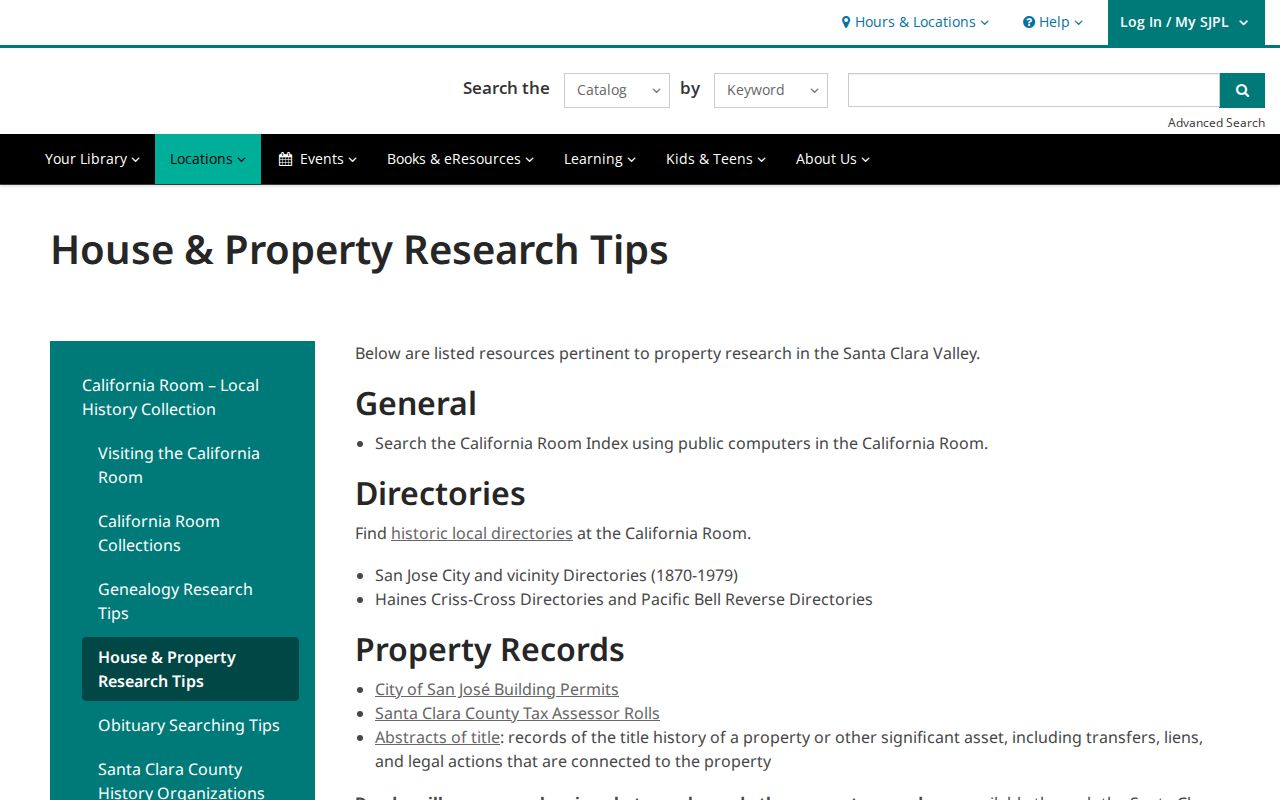
A Santa Clara house history is strongest when the title, occupancy, structure, and family sources are labeled separately.
Santa Clara Archives and Record Gaps
Santa Clara County Archives began operations in 2006 after a formal 2004 policy. A 2007 grant of $200,000 targeted 1,500 cubic feet of processing and public access. Archives databases index map books, planning photographs, coroner inquests, naturalizations, wills and probate, militia enrollment, oaths, surveys, and medical registers. The underlying documents generally require an archive visit or research request.
Santa Clara archival researchers may photograph material with permission, but the Archives does not certify copies. The absence of a web image is therefore not evidence that a source was destroyed. It often means the next step is a catalog search, a phone call to the archivist, or a Santa Clara visit.
Previous Residents Definitions
Santa Clara house-history terms can hide distinct evidence. Use these meanings when you compare sources.
- Grantor
- The person or entity transferring an interest in a recorded instrument.
- Grantee
- The person or entity receiving that interest.
- Chain of title
- A linked series of recorded transfers for one legal parcel.
- Legal description
- The recorded description of land, separate from a mailing address.
- Occupant
- A person shown at a Santa Clara address by a directory, census, or similar dated source.
House-history use. Santa Clara previous-resident research is for family history, preservation, and personal curiosity. Do not use a Santa Clara past address to stalk, harass, intimidate, or harm a living person.
For the current Santa Clara street chain, the Santa Clara street directory keeps the address-first records separate from this backward trail.